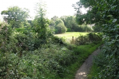
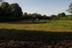
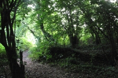
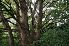
All of the photographs in the gallery below are of trees, fields and open space that would be replaced with the proposed housing estate (you can click on a thumbnail to view a full size image).
Below are some views of the road that will become the only vehicular access route to the new housing estate:
Here are two pictures that show how much surface water accumulates on the site. With the development, this surface water will pass across the site and onto the land owned by Railtrack, threatening the stability of the railway embankment:
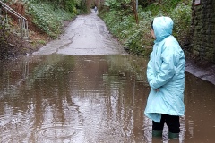
Below are pictures taken in Radyr Court Road during the recent flooding. The River Taff has flooded into Radyr Court Road on a number of occasions in recent years, most spectacularly in February 2020:


